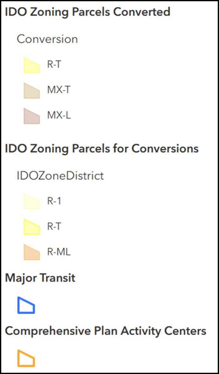
Compare Current Zoning to the Proposed Zoning Conversion
The map below shows zoning before and after the proposed zoning conversion.
- Left of the slider shows zoning now.
- Right of the slider shows zoning after the proposed zoning conversions or R-1/R-T/R-ML properties.
- Within Major Transit (MT) corridors (660 feet from centerline of the street)
- In Activity Centers (AC)
Instructions to Navigate the Map
-
Click and drag the map or the slider left and right to see how zoning is proposed to convert.
-
Zoom in and out using the wheel on your mouse, pinching with your fingers on a touch screen, or using the +/- buttons on the top left of the map.
-
Pan the map by clicking and dagging or touching and dragging.
-
Use the search box to explore the map by address.
-
Click on a particular parcel to see more information about the properties that are proposed to convert.
-
Click
 to the right of the map and then click on a particular parcel on the map to view information on the conversion.
Instructions to Comment on the Map
Click  to the right of the map, then click on the map where you want to leave a comment. Note: Map commenting has closed.
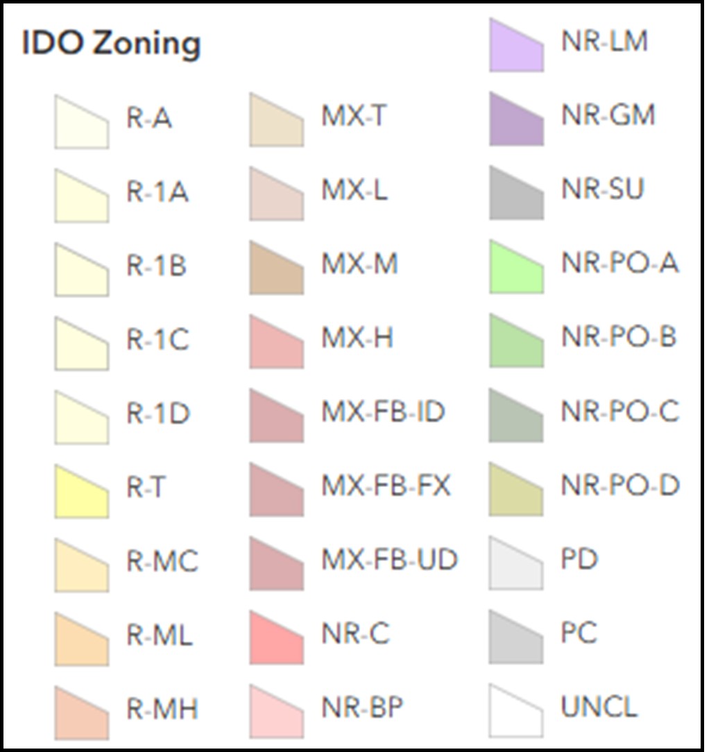
Legend and Map Information
Comments
Cancel